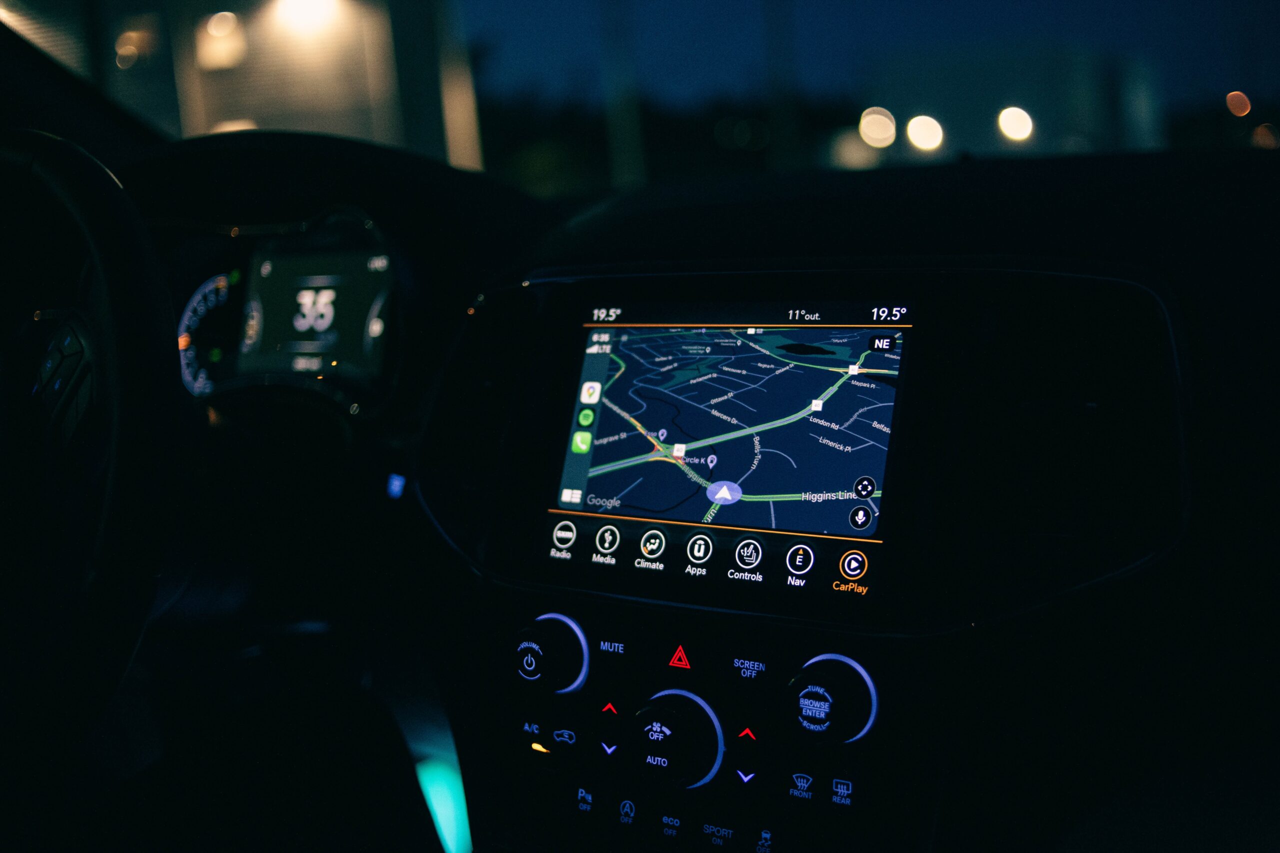
Navigation is essential to human life, whether for choosing the best route from your house to your workplace or for deciding the most efficient shipping route for goods. Fortunately, our method of navigation has developed through time, giving rise to amazing tech tools that help determine the most ideal navigation routes by land, sea, or air.
This article will discuss the best general tools for navigation, as well as a few of the best navigation technologies for maritime transportation.
Best tech-based navigation tools
Navigation tools in the modern-day are primarily concerned with fuel consumption, safety, and speed. Other tools for navigating streets can even provide specific and detailed information such as the best route to avoid traffic or the quickest way to hit several stops.
Navigation technology for general purposes
Magnetic Compass
In the 13th century, the magnetic compass was a huge advance in navigation technology because it allowed travelers to find their way even when their usual astronomical cues (e.g., the North Star) were obscured. The compass uses the Earth’s magnetic field to point to the north pole. Though it isn’t as new as the other technologies on this list, it is still vital to fleet management.
Global Positioning System
The Global Positioning System (GPS) is a global navigation system that uses satellites to provide and synchronize data on location, velocity, and time. GPS receivers have been used for tracking vessels and monitoring their positions at sea. But it is also found in your car, your watch, and even your smartphone.
GPS works by receiving signals from multiple satellites orbiting the Earth. Nowadays, this navigation tool can be equipped with features like autopilot or collision avoidance. More commonly, GPS is used to plot courses to specific destinations.
Radar
Radio Detection and Ranging (Radar) detects objects and their positions relative to your current location. Radar works by sending out a radio signal, which gets reflected back to the radar when it hits an object. Maritime radars are especially useful for detecting other ships and land obstacles and avoiding collisions as a result. Originally developed for military purposes, radar is still most widely used for military applications on land, in the air, and at sea. Military uses of radar include missile guidance and air navigation.
Navigation apps
Route optimization apps combine information from various sources as well as relevant technologies in order to determine the safest and fastest route for all kinds of vehicles. For land navigation, applications such as Waze and Google Maps are two of the most widely used. Waze is most loved for providing accurate, up-to-date traffic data and good rerouting to get you around severe traffic jams. Google Maps, on the other hand, provides cycling and walking routes as well as a top-notch search function and offline map option. Meanwhile, reliable maritime navigation apps include Wayfinder for plotting shipping routes and Navi-Planner for safe, rookie-friendly voyage planning.
Navigation technology for maritime travel
Maritime transportation may not be a daily activity for most of us, but it fuels the global economy through the shipping and receiving of goods and raw materials from different countries. Hence, finding safe and efficient routes at sea is a significant goal of modern navigation.
Electronic Chart Display and Information System (ECDIS)
An electronic chart display and information system (ECDIS) is used for determining a vessel’s course and speed. It displays your coordinates, time, and date on a map screen. It is frequently used in navigation apps because it allows voyagers to plan and monitor routes and calculate ETAs automatically.
Automatic Identification Systems
Automatic identification systems (AIS) allow vessels to broadcast their location information to passing ships with radio waves. They automatically transmit information to nearby ships to avoid collisions. AIS can also be used to calculate the shortest route, making it an indispensable tool for shipping companies.
Voyage Data Recorder
A voyage data recorder (VDR) is a tiny electronic device that records data about a ship’s voyage, much like an airplane’s black box. It is usually used in commercial vessels and oil tankers. VDRs contain multiple sensors such as pressure transducers, gyroscopes, altimeters, and accelerometers. In case of accidents, investigators can use data recorded by VDRs to uncover the cause of the incident.
Drifting weather buoys
Maritime navigation apps often integrate weather data which are collected through traditional weather buoys or, more recently, smart buoys. These innovative drifting weather buoys are free-moving devices that collect weather and ocean data, specifically currents, water, air, and sea surface temperatures, salinity, air pressure, and wave direction, among others.
Final words
Because navigation plays an important role in our lives, whether individually or as a nation, it is natural for innovation in navigation to be prioritized and celebrated. For general purposes, we have compasses, GPS, radar, and navigation apps at our disposal. Meanwhile, maritime navigators have ECDIS, AIS, VDR, and smart buoys. As startups and researchers continue to thrive through technology events and grants, we will enjoy easier and safer navigation in the years to come.

